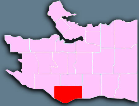
Marpole
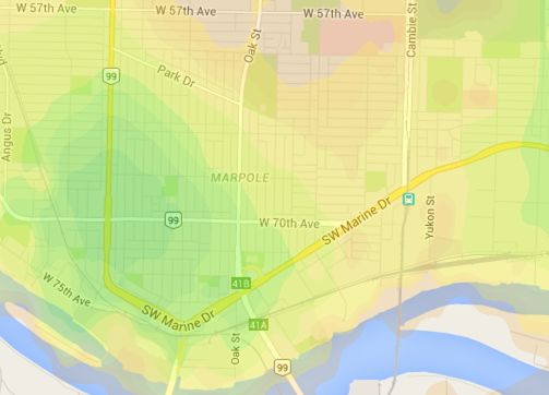
Walkscore
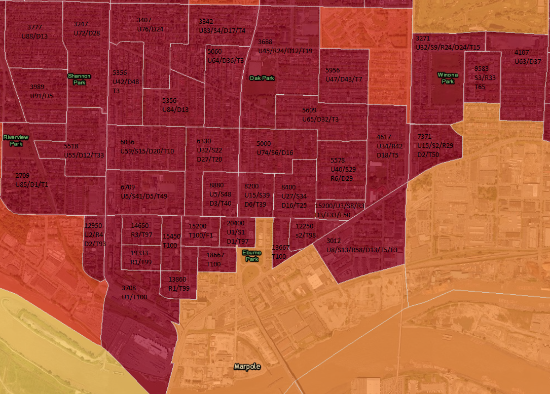
Density map
Marpole dissemination area density map. Dissemination area is the smallest geographic entity that data is made available by statistic canada. I've search for density map on the web and I've only find ones based on census tract, which is a combination of dissimenation area.
There is also an indication of the type of housing in percentage. The pourcentage may not add up to 100% because statistic canada rounds the numbers for privacy matters.
U: single/detached
S: semi detached
R: row house/town house
D: apartment duplex
T: apartment with fewer than 5 stories
F: apartment with 5 stories or more
Click on the image to enlarge